
Coastal States of the Baltic Sea and the North Sea: Safety risks in navigation increased by GNSS interference
On 26 January 2026, Finland and 13 other European countries published a letter to the International Maritime Community on the safety and security risks caused by Global Navigation Satellite System (GNSS) interference. The signatories of the letter include the coastal states of the Baltic Sea and the North Sea: Finland, Belgium, Denmark, Estonia, France, Germany, Latvia, Lithuania, the Netherlands, Norway, Poland, Sweden and the United Kingdom as well as Iceland.
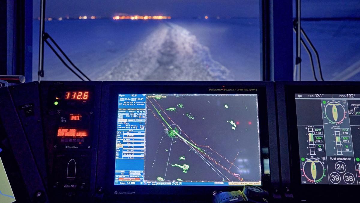
The joint letter notes the risks to maritime safety and security caused by interference with satellite navigation systems, i.e. GNSS interference, and highlights the obligations of vessels and flag states under international treaties. Risks to maritime safety increase further during winter, when ice conditions are challenging.
On behalf of Finland, the letter was signed by Minister of Transport and Communications Lulu Ranne.
“As a preparedness superpower, Finland also has the readiness to respond to GNSS interference. We have consistently kept interference and the related risks high on our agenda in international forums. Our particular concern relates to vessels and crew that do not have the capabilities for winter navigation and are vulnerable to GNSS interference. We want to ensure that all countries are committed to international conventions and are adequately prepared for incidents when operating in the Baltic Sea region,” says Minister Ranne.
The letter calls upon the international maritime community and national authorities to:
- Recognize GNSS interference and Automatic Identification System (AIS) manipulation as threats to maritime safety and security.
- Ensure vessels have adequate capabilities and properly trained crew as required by international conventions to operate safely during navigation system outages.
- Cooperate on the development of alternative terrestrial radio navigation systems which may be used in place of GNSS in the event of disruption, loss of signal or interference or other system failures.
What is GNSS interference?
GNSS interference refers to intentional disturbance of time and location data. The most widely used GNSS system is the US Global Positioning System (GPS). Intentional interference is prohibited in both national legislation and international treaties.
GNSS interference has been detected in maritime transport within and near Finnish territory. As a rule, navigation remains safe, but the significantly higher number of interferences with satellite navigation systems is undermining the efficiency and safety of navigation. Alternative methods of positioning are used in maritime transport, meaning that vessels navigating in the Gulf of Finland do not depend solely on a single positioning system.
Inquiries:
Tiina Ranne, Senior Ministerial Adviser, tel. +358 29 534 2036, [email protected]


